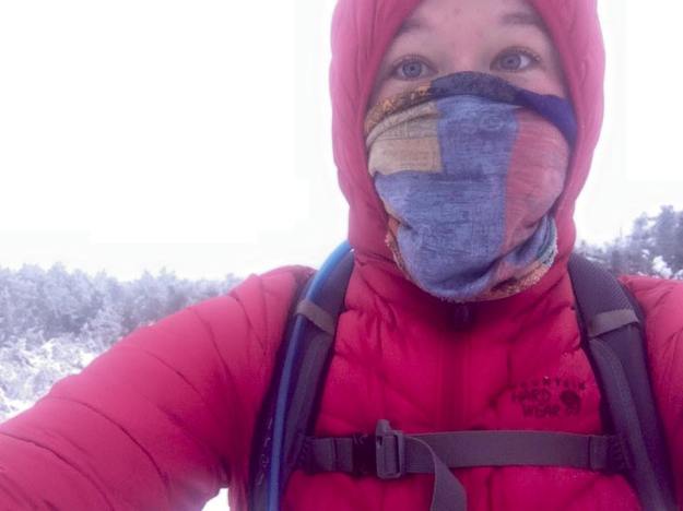
So it’s Friday and I’m thinking “man, I really wish I didn’t have to wake up super early to go run 20 miles at the Blue Hills…I just moved my life into storage and ran Summit Ave repeats and biked downtown for the whole morning. If I run tomorrow, I have to do it early because it’s going to be super hot out and I don’t want to be out there with 7 miles to go in 80 degree heat.” Luckily for me, Ryan magically inquiries to me “hey, Sunday– let’s go do this 20 mile traverse in the white mountains.” Excellent! This is awesome because I’d rather hike 20 miles in the high peaks and now I don’t have to get up to run 2×10 mile loops in the blue hills. Awesome.
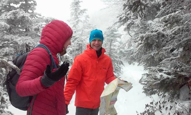
So the tentative plan is for Ryan & his friend Ben to meet me at Pinkham notch around 7:30 am, we leave my car and drive north to the start. Welp. Naturally we were pretty late. I got to Pinkham early and relaxed. Ryan didn’t pull up until close to 8… some driving problems. We headed north, 2 boys, 1 girl (me), and 2 pups. We were on the trail by 8:30am… which I find funny because they both wanted to start around 7am and I voted on 9am (which they said would be too late). ANYWAY.
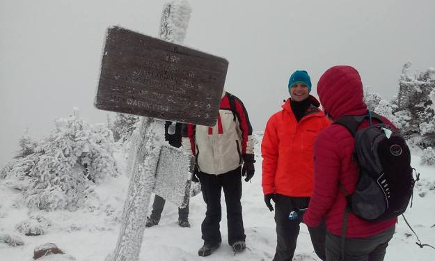
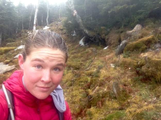
We went up the Carter-Moriah trail, taking 4.5 miles to get to the summit of Mt. Moriah. I wasn’t feeling great in the legs– my Saturday of rest really wasn’t as good as I was hoping it would be. Usually my legs loosen up during the first climb and I am good to go but this time it wasn’t happening. I was falling behind a bit on the climbs which is always a bad feeling, both physically and mentally.
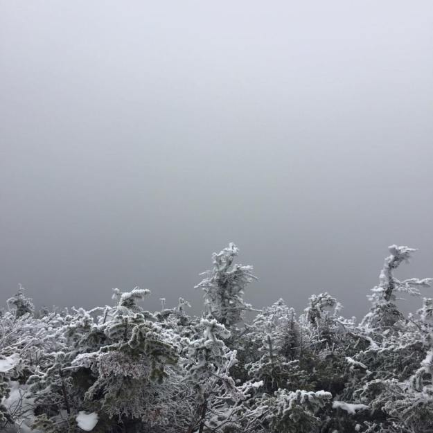
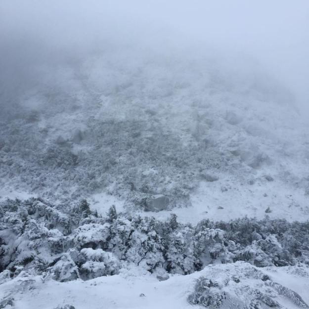
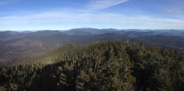
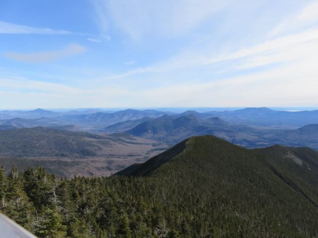
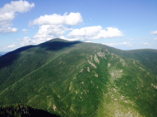
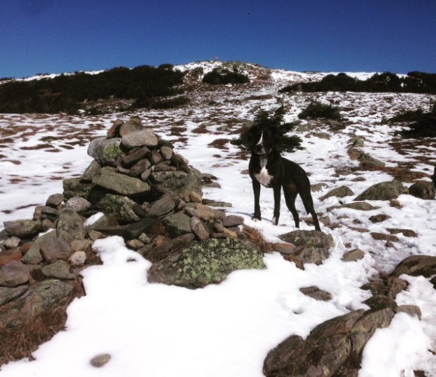
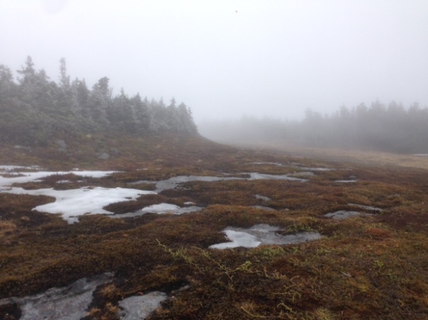
The summit of Moriah was a worthy treat, not incredibly high but you got an outstanding view of the northern presis, much of which you’ll see in some photos later. After Moriah, we continued onward. The trail then dips you down for a long time, losing close to 1,000ft. During this descent, you are traveling down beautiful slab rock trail with open views to North Carter and beyond to Washington.
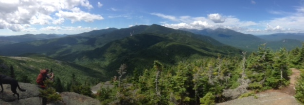
Sky and Ben sneaking into my Panorama
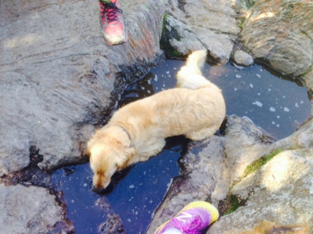
You have to go down to go up! We climbed a steady 1500ft. to get towards the top of North Carter… but before we started, we made a pit stop for water from a fresh stream at the Imp Shelter… always known as…
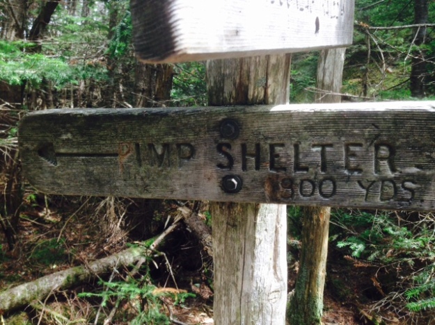
The Pimp Shelter
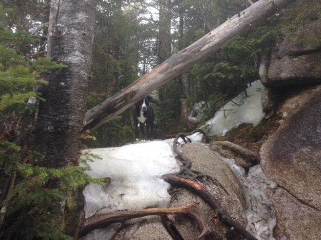
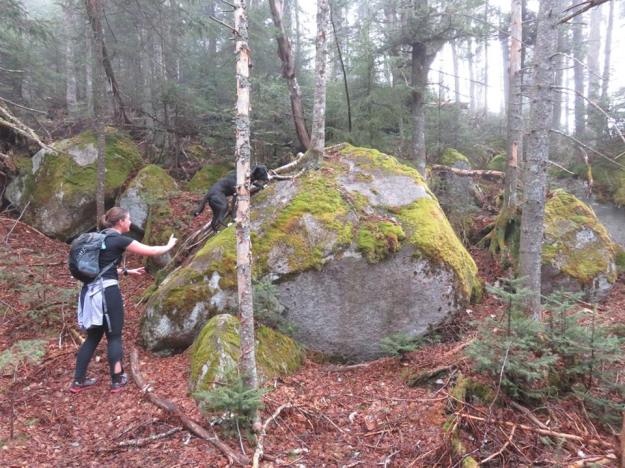
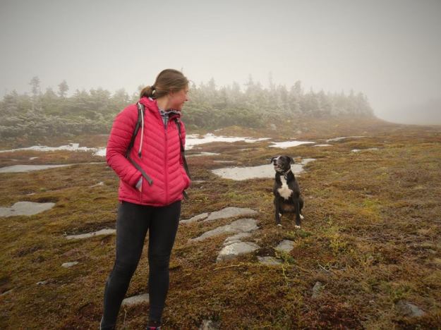
So with a full bladder, dogs got a good drink, and I took a gel and some salt tabs– up we went to go Finding Carter. This climb was steeper than the Moriah climb (but only a fraction of what was to come). There were a few more scrambles and chimney-esque climbs that Sky had some issues with. She is not well versed in these climbs and luckily, Ryan’s pup Cayenne was a good teacher. Sky was able to figure a lot of it out after a try or two. She def has some injuries from some of the rocks (cuts on her legs here and there) but overall she learned very quickly!
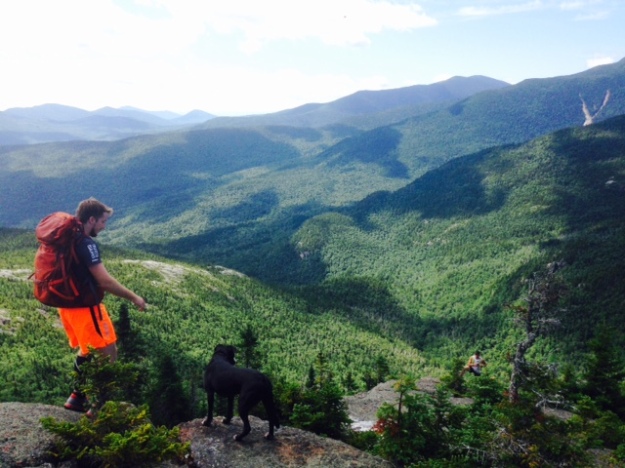
At the top of North Carter we relaxed for a bit and I ate some bagel and we laid out in the shade. From NC, we went over Middle Carter and then descended a bit. We were told not to skip Mt. Hight as it boasts some of the best views on the whole traverse. Well, that was an ass of a climb but we went up to Mt. Hight and it was incredible.
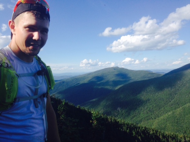
Ryan on top of Mt. Hight
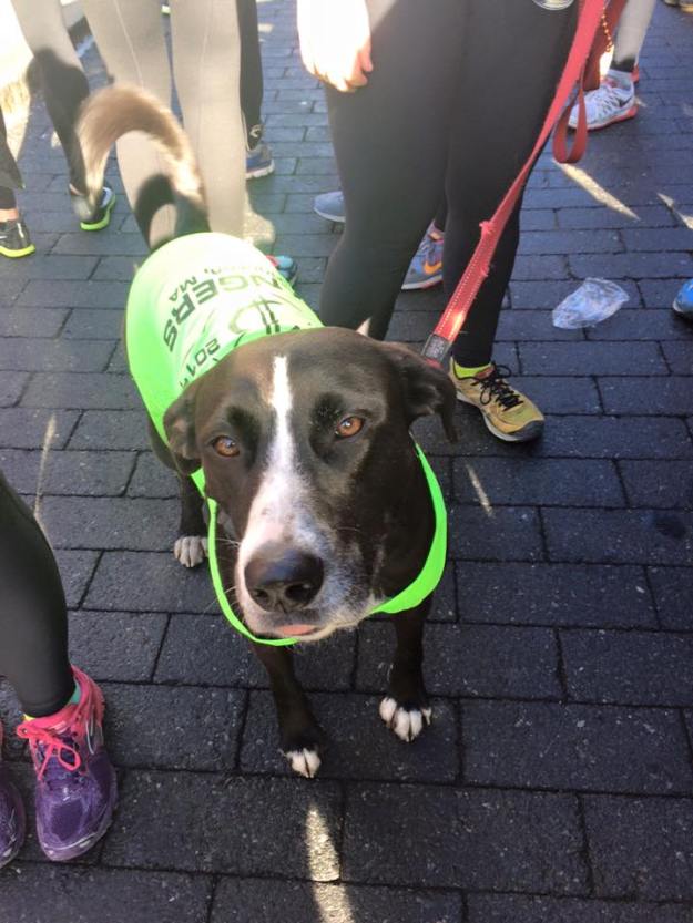
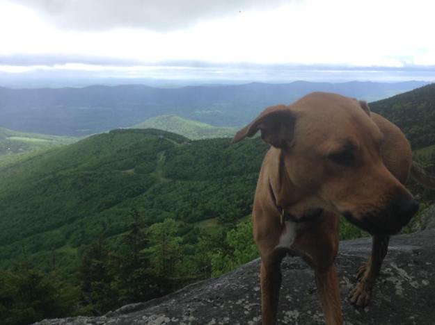
From here, it was a flat ridge on over to Carter Dome- the highest mountain on this traverse. No real views on much of the Carter Range but it’s good to move across the terrain and see different aspects of the wilderness. After Carter Dome, we had a hell of a descent (I’d say the 2nd hardest of the 3 descents…) in which over 1.3 miles, we drop around 1500ft. right into the Carter Notch. This descent made my knee and IT band scream a bit, it was large rocky steps, uneven footing, and steep. It was also mentally challenging because at this point, we were approaching mile 13 or 14 and could see Wildcat A across the notch, knowing that we would have to climb something equally as steep. At the bottom of this descent, we were spent a bit. I know I was feeling hungry and tired. We stopped inside the Carter Notch Hut, and ate some of our trail food. Ryan and Ben split a coffee and I ate some hut made pumpkin pie (10 for 10, would eat again). There are no dogs allowed in the hut. I was so tired and too tired to worry about Sky. She had proven herself a worthy dog. We were in clearly a dog friendly environment. I just left her outside the hut with Cayenne while we were inside for maybe 20-30 minutes recuperating. I honestly expected Sky to run away or go exploring, but she was amazing. She tried to come in but eventually, she and Cayenne just sat outside the door and loved everyone who came by. She is really a wonderful dog and I’m grateful that she has Cayenne to learn from.
Cayenne (and Ryan’s and my foot). She is a water dog for sure!
Around 4:30pm we realized that we had ~6 miles to go and that included a very very steep climb up Wildcat A and an even steeper and more dangerous descent down Wildcat D. While we would be descending down the west side of the range, the sun would set behind Mt. Washington making it darker even earlier than otherwise. That meant we had to get our asses in check and get up Wildcat.
The climb up Wildcat on the map looked like ~1400ft in 7/10s of a mile. Yikes. That is pretty verticle. The trail wrapped around the mountain a bit more than I thought it would give that staring at Wildcat during our Carter descent looked like a flat sheer climb. Ben led the way, then I followed and Ryan came up behind me. I am sure he was sweeping me on purpose to keep me moving, but it was really encouraging to keep moving. He kept joking about what he would do to me if he caught me (at least I think he was joking) but still– I appreciate him keeping me moving. That climb, although steep and us on tired legs, was maybe my best climb of the lot. I pushed and was feeling quite good during it. Thanks Ryan!
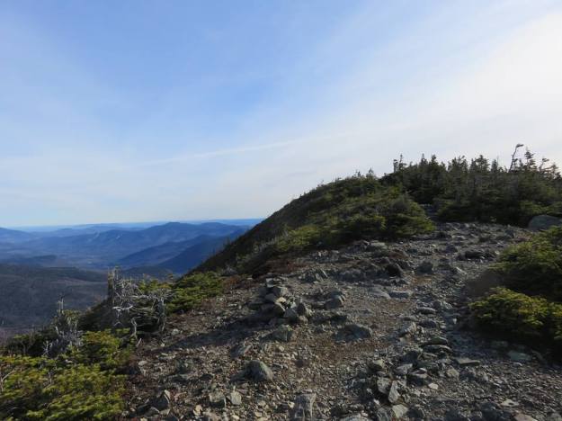
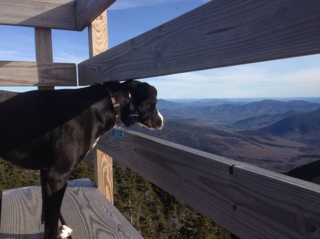
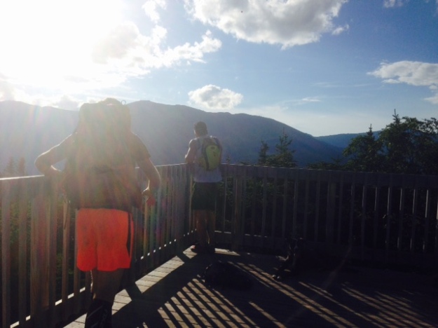
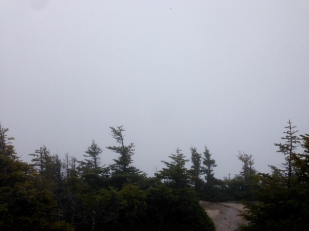
The top of Wildcat offers some nice vistas to the east. We met a thru-hiker up there. She was just doing a very casual northern half traverse of the AT. She said the Presis are always difficult but people underestimate what comes right after. We were on the AT but going south and knew that she meant our descent was going to be hard… awesome!
Wildcat vista
We moved at a bit of a shuffle across Wildcats. I kept thinking about how I didn’t want to be descending down Wildcat D in the dark– I only had a handheld and not a headlamp with me! This is making me nervous for so many reasons– I could’ve SWORN I put my headlamp and other handhelds in my car with all my camping stuff when I moved out but it was nowhere to be found. Luckily I had the handheld in my glove box for emergencies. I think I need to buy a new headlamp before next weekend’s Pemi Loop attempt! Ugh!
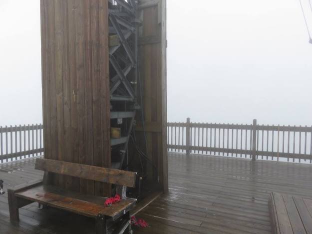
Anyway, we made it to Wildcat D.. marked by the built look out.
To the west (also, the butt shot)
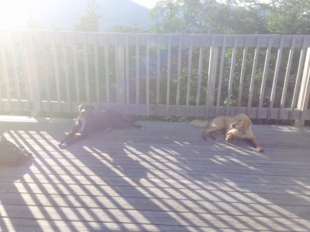
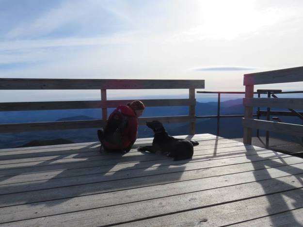
Coupla’ tired pups. 3 more miles, girls!
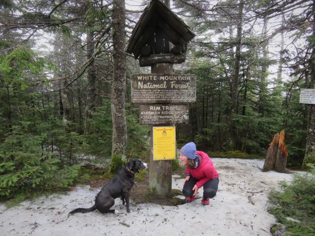
From here we weren’t 100% sure which mountain we were on to be honest, but that mystery was cleared up ~100 yards later…
There is a sign on the left side of the house that points up the mountain and says “Easier Way Down”… it’s a joke.. BUT the way we went down was NO joke.
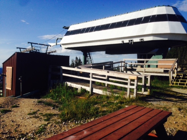
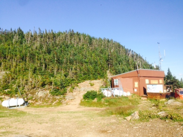
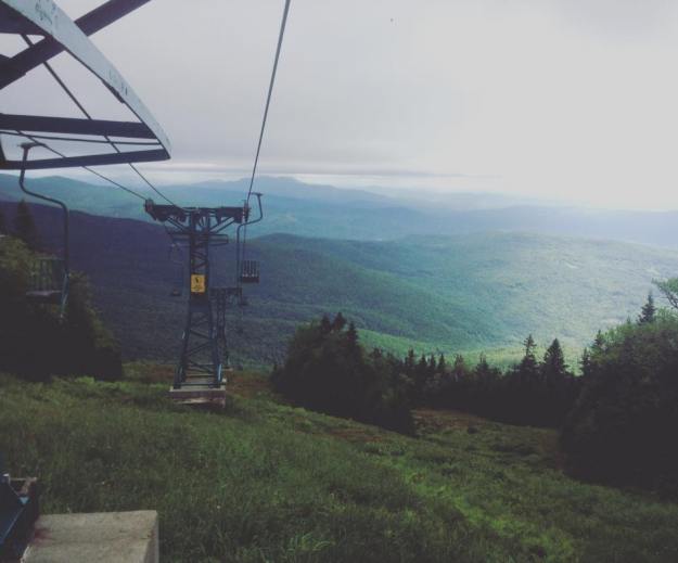
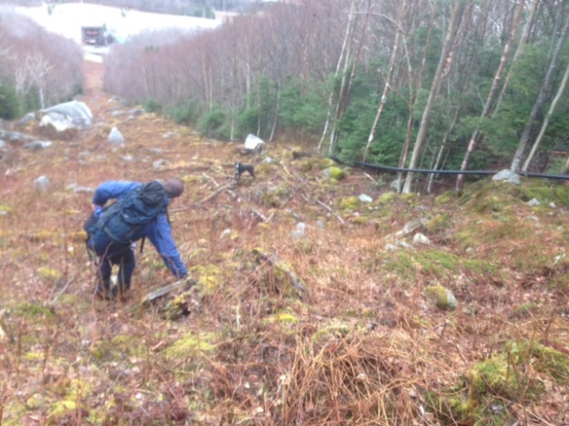
Top of the Wildcat ski gondola.. let’s take that down please.
So we pushed onto Wildcat E and then down.. and down we went! On this descent, we lost about 2,000 ft in a mile. It was large flat rocks at first (a lot like the Flume Slide trail) and then we were just down. There were some built in stairs. This is where I am the most proud of Sky. She was able to learn quickly to find her own routes and safe ones. What a good dog!
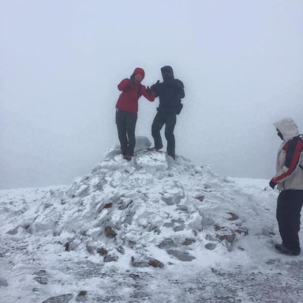
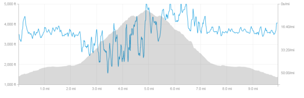
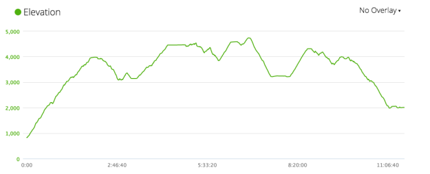
I kept an eye on the sun, slowly watching it hover over the peak of Washington. This descent gave me foot pain, blister, knee agony, IT band issues, and maybe a lost toenail– but we made it out alive and in day light! 11.5 hours for the full 20 miles, car to car. Ryan’s watch recorded it, we didn’t stop the clock for anything so I wonder how much time we spent just sitting (I could math it I guess but wondering is okay). I think we might’ve been closer to 10.5 or 10 hours moving time which is what I expected. What I didn’t expect, going into this hike, was the terrain to be as gnarly as it was. I also didn’t expect my muscles to be as poorly working as they were but there’s something to be said for pushing through it and finishing.
I’ve said it before but I’ll say it again, Ryan is a good influence in a number of ways. He keeps me enthused and doesn’t let me not believe that I can do something. I am not the most rock solid mental athlete around, I have confidence problems and when my body is already tired, it is easy to give up. Ryan not only brushes that off with “of course you can do it, dummy” but he makes me not want to think about it at a all and just enjoy the moment and what I am doing. I was worried about my knee/IT and dehydrating (my new nickname is “sweatshop”… pretty appropriate) but at no point was I going to die and I was never in real danger… so just keep going. I don’t know if I’ve ever been on trails with someone who makes me feel like I can do anything like that. Thanks dude. Updog!
My White Mountains
6 more peaks off my list:
- Moriah- 4049
- Middle Carter- 4610
- South Carter- 4430
- Carter Dome- 4832
- Wildcat A(ss)- 4422
- Wildcat D(ick)- 4050
44.257224
-71.252864


")
")
")
")


")


")


")
")