Before I get into Day 2, I should mention a mentality I have sort of always had about running and trail running and kind of about life. Big groups are not my cup of tea. It may be that I don’t have the dominating personality to really take part in large group discussion, or that I am just not comfortable putting myself and my opinions out there into the world to so large an audience at a time, but I tend to prefer smaller, more intimate hang outs. In fact, in groups where I find myself being loud and overwhelming, it is typically because I do not really care about the company I am with (which is not a good thing). I like to get to know people and to know that what they are saying, they are saying to ME and what I am saying is to THEM. This has been part of my personality for a long time. Beyond social groups, I really value my time alone, going my own speed, doing things my way. A number of times in my life by a number of eclectic people I have been labeled a ‘lone wolf’ and I don’t think it’s inaccurate, nor do I think it is a bad thing. In fact, I nearly got a lone wolf tattoo a few years ago and still consider going for it. I don’t mind spending many hours by myself in the woods. I learn things about myself, I think through my own troubles, I handle my own situations, and I overcome my own fears. I also don’t mind doing that in smaller groups, I learn things about other people intimately that way. But in large groups, I lose my focus, I lose my reason for being there and doing what I want to do, and I become concerned with falling in step and doing things other people’s way instead of my own. That is another partial reason why I opted to go my own way for the weekend. ANYWAY–
After Day 1, my knees and my quads were in a poor state. I wasn’t sure how well I’d fare for Day 2 but wanted to get up and get going anyway. The important peaks for me on Day 2 were Eisenhower, Pierce, & Jackson. Depending on how I felt and if my friends caught up to me, I would add Webster as well. I would park at Crawford Notch with plans to both start and end there, so I could transport a group of my friends back.
At 5:30am Saturday morning, the alarm went off in our hotel. The other 3 in the room with me prepped for their 6:00am start of their traverse. I was lying half conscious on the bed waiting for them to leave so I could fall back asleep, and surely I did, with my own alarm set for 8am. I woke up around 8:20am having slept through my alarm! I got my pack together, same set up as the day before, and headed to my car to head south. The parking lot was about 40 minutes drive south of the hotel, which gave me time to eat and blast some pump up music—Thunder Road anyone?
Today I would take the Crawford Path trail up to Pierce, north to Eisenhower, and then back through Pierce to Jackson on the Webster-Jackson trail. If I added Webster, then I would take the Webster Cliff Trail to get back to my car. Solid plan, but after yesterday I wanted to check the map.

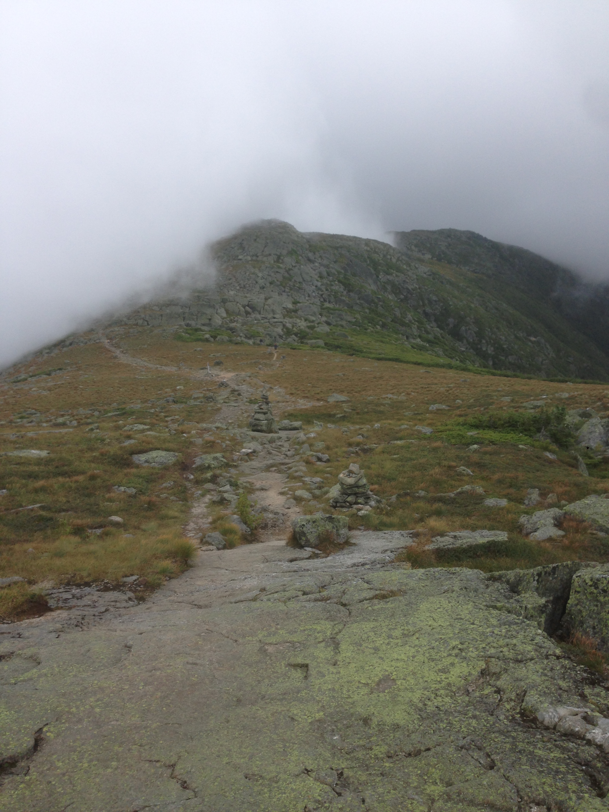
Starting on the Crawford Path, I headed up the mountain. The Crawford Path is the oldest continuously used and maintained trail in the United States. Developed in the early 1800’s, it was originally a horse trail to tackle the Presidentials, but has since changed into a single track hiker trail. Many paths and trails in the White Mountains are named after the pioneers who developed them, and the Crawford Path pays homage to Ethan Crawford and his wife Lucy. Lucy is famed in the region for writing the history of the Whites and documenting the early trail creators. It was a beautiful and runnable trail that I power hiked. After the first mile, my legs loosened up and started to feel good. I was running a lot more than I thought I would be, given how sore I was the night before. The Crawford Path was gentle grade up without much views until the top. I made it to Eisenhower and back to Pierce pretty uneventfully.
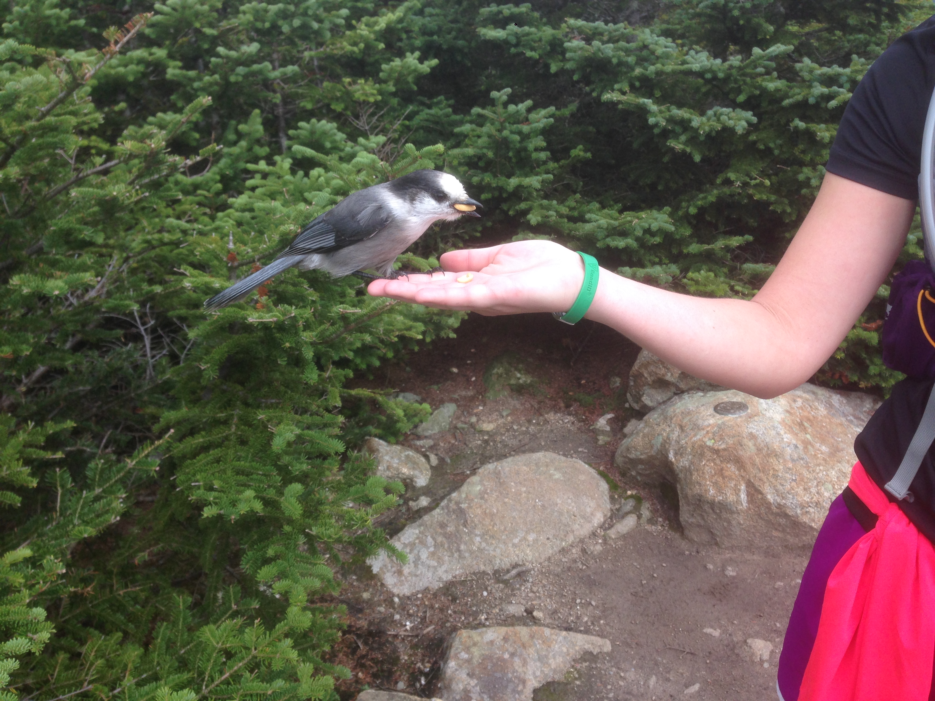
At Pierce, I stopped to eat and immediately a bird flew to a tree near my face.

A gray jay
I said “hello” to it and another hiker on the summit asked me if I knew what type of bird it was. Because I’m ignorant of all birds that are not giant raptors, he told me it was a gray jay (or a “camp robber” or “whiskey jack”) and it would eat snacks out of my hand. Like so:


The guy that I was talking to also said it would eat one off my head, so naturally I HAD to try and ended up with this amazing photograph:

While I admit that it is a pretty cool photo, I later did some research and there is debate about whether it is a good idea to feed the gray jays. The jays are smart birds (clearly since they can get people to feed them) and do not only steal food from humans but from all species from New England throughout Canada. While a peanut here or there from me won’t throw off the entire ecosystem, gray jay dependence on human food will deter them from stealing food off other species—such as engorged ticks from moose (thereby helping the moose population and preventing the spread of Lyme’s disease). So the moral of this story is to do as I say (and don’t feed them) and not as I do (achieve awesome bird photos). ** I will allow an exception if you feed the gray jay an engorged tick.
They hiker I met on the Pierce summit was a volunteer for the weekend with the AMC. We chatted a bit; I asked him for his favorite trails in the Whites and what trails he thought were more runnable (which is giving me some ideas for next weekend). He also told me a little bit about the hotel history for the Mt. Washington summit. Apparently, historically there have been a number of hotels and plans for hotels on the summit, but nothing ends up lasting the harsh winters. There was even a plan for a hotel to be built around the real summit, meaning that in order to properly tag it, you had to enter the lobby of the hotel. Ridiculous! There are no current plans for a hotel or anything disrupting the summit. The Tip Top House up there now is an old lodging though…
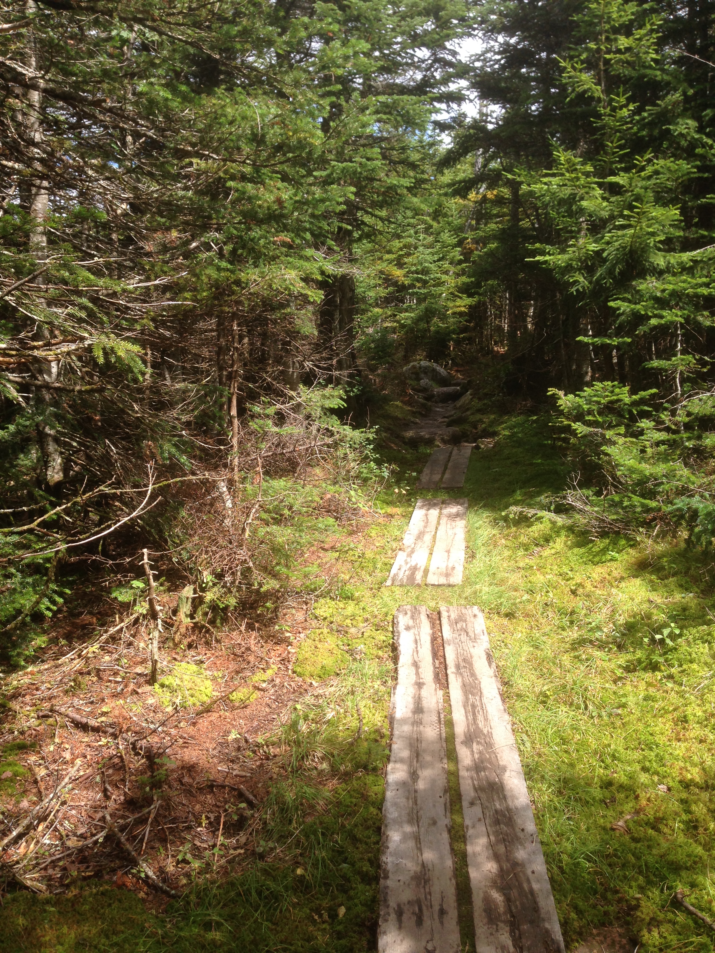
Anyway, after chatting for nearly 20 minutes, I headed towards Jackson. There is a long scramble down from Pierce to the hut that had 2 or 3 ladders and was slow going, but after the reaching the Hut and taking the Webster-Jackson trail, everything became VERY runnable. Lots of boards and easy ascents and descents until you get to the summit climb. My friends opted out of Jackson and Webster after being let down by Pierce—but I think they made a mistake. I loved the runs from Pierce to Jackson to Webster.

I’m sorry Mt. Jackson, your views are fo’ real…

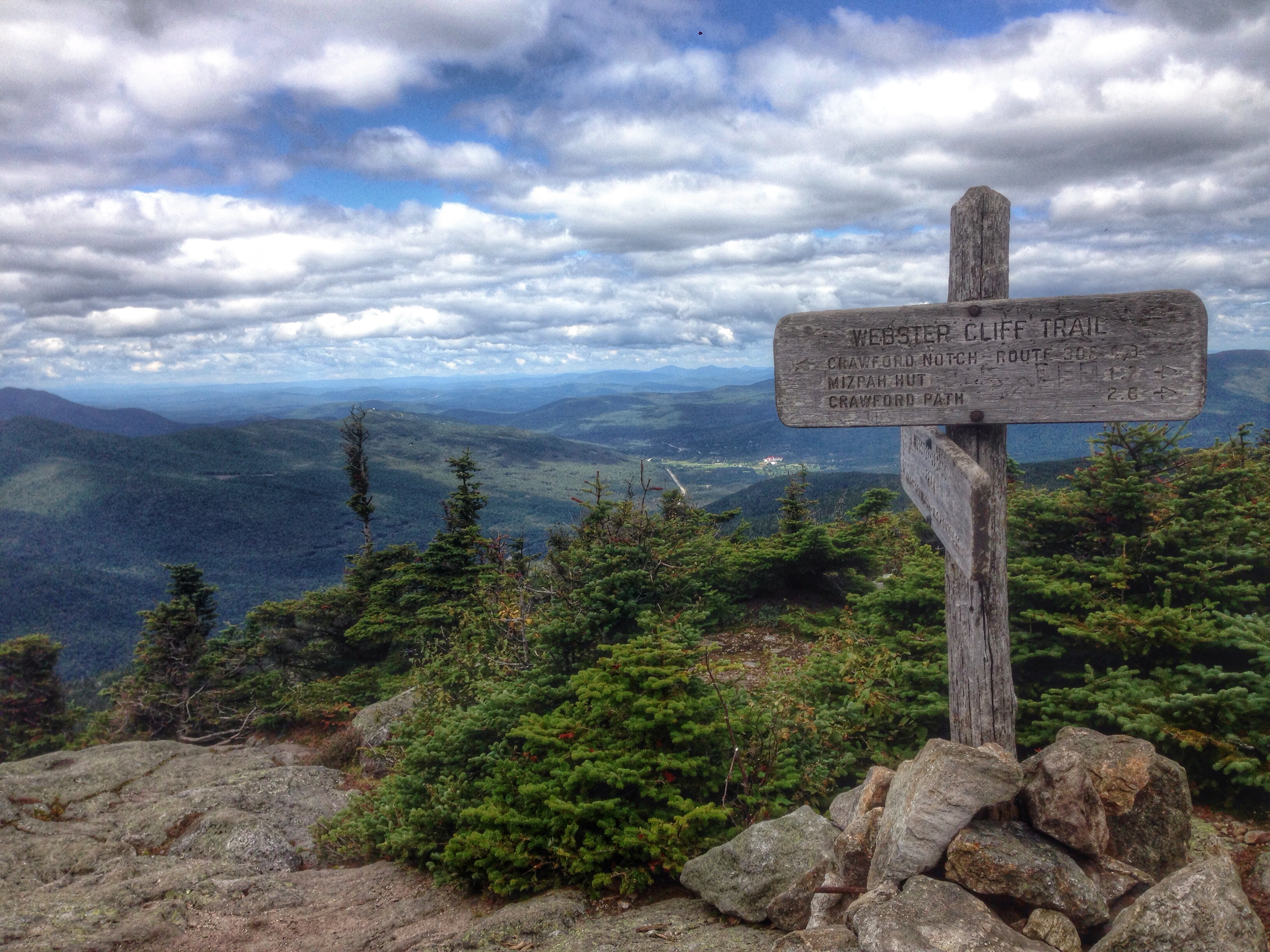
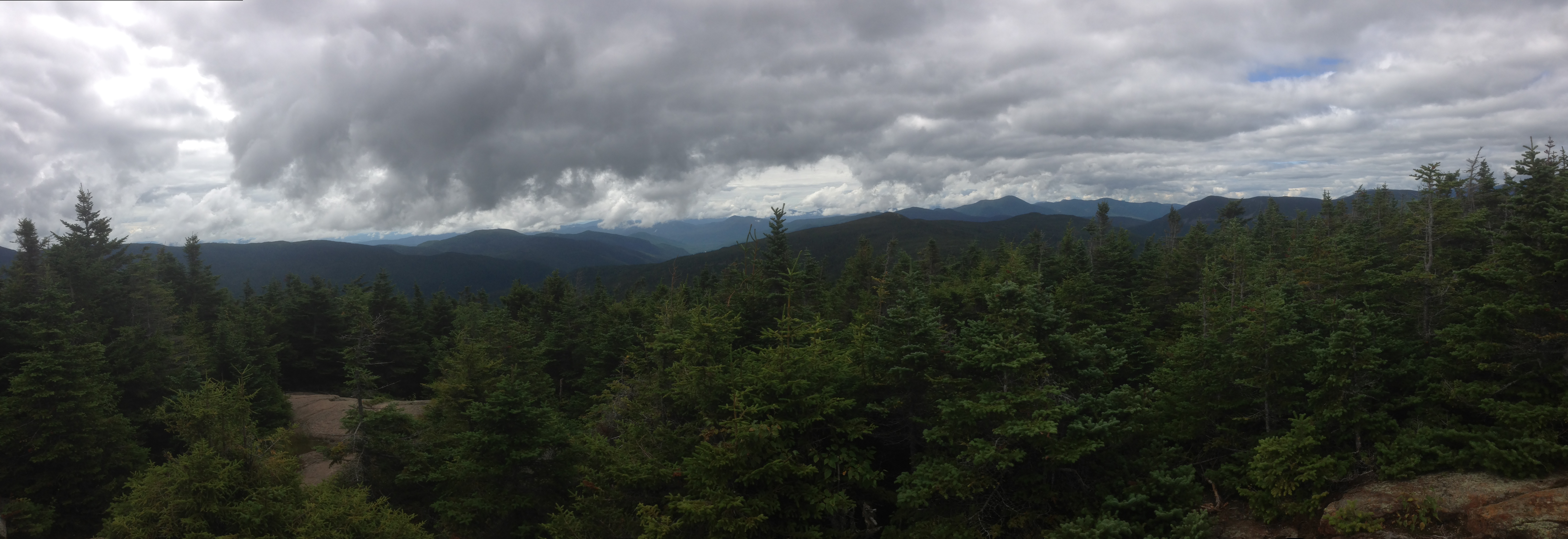
On Webster, I had a great experience. First of all, the views are something you do not get on the Presidential mountains. You can look west at the Willey-Fields range, beyond to the Zealands, south to the Bonds! It was so breathtaking and really not something you get at the Presidential mountain summits. Also, there was a guy up there who I saw eyeing me up and I wasn’t sure why. At first I thought he was trying to read my shirt (which was a Rutgers Half Marathon shirt.. not something I think the Whites see very often) but after a few minutes he blurted out “You were running on Whiteface and Passaconway about a month ago, weren’t you?” which is totally true. He said he remembered my face and chatting with me on those trails. He said he tried to run down Passaconway after seeing me do it and after went out and bought trail running shoes after he got down. He has been running more after we spoke last month. Now I’m not a great trail runner by any standard (just ask my knees) and I’m far from an elite like Jan but that felt really awesome to hear.
Furthermore, while trying to get down from Webster, I encountered this older hippie-esque gentleman crushing beers with his daughter (maybe) who I kindly took a beer from in return of carrying down their recycling (aka a bag of finished beers). This felt like a fair trade to me—I was going down for 2.5 miles back to the car and they were continuing on the trail. Not a bad trade. Once I got to the bottom, I had a 3 hour chill out period before I saw the smiling exhausted faces of my friends! Spent time finishing my book and napping in the trunk of my car:

Elephant’s head view up there!
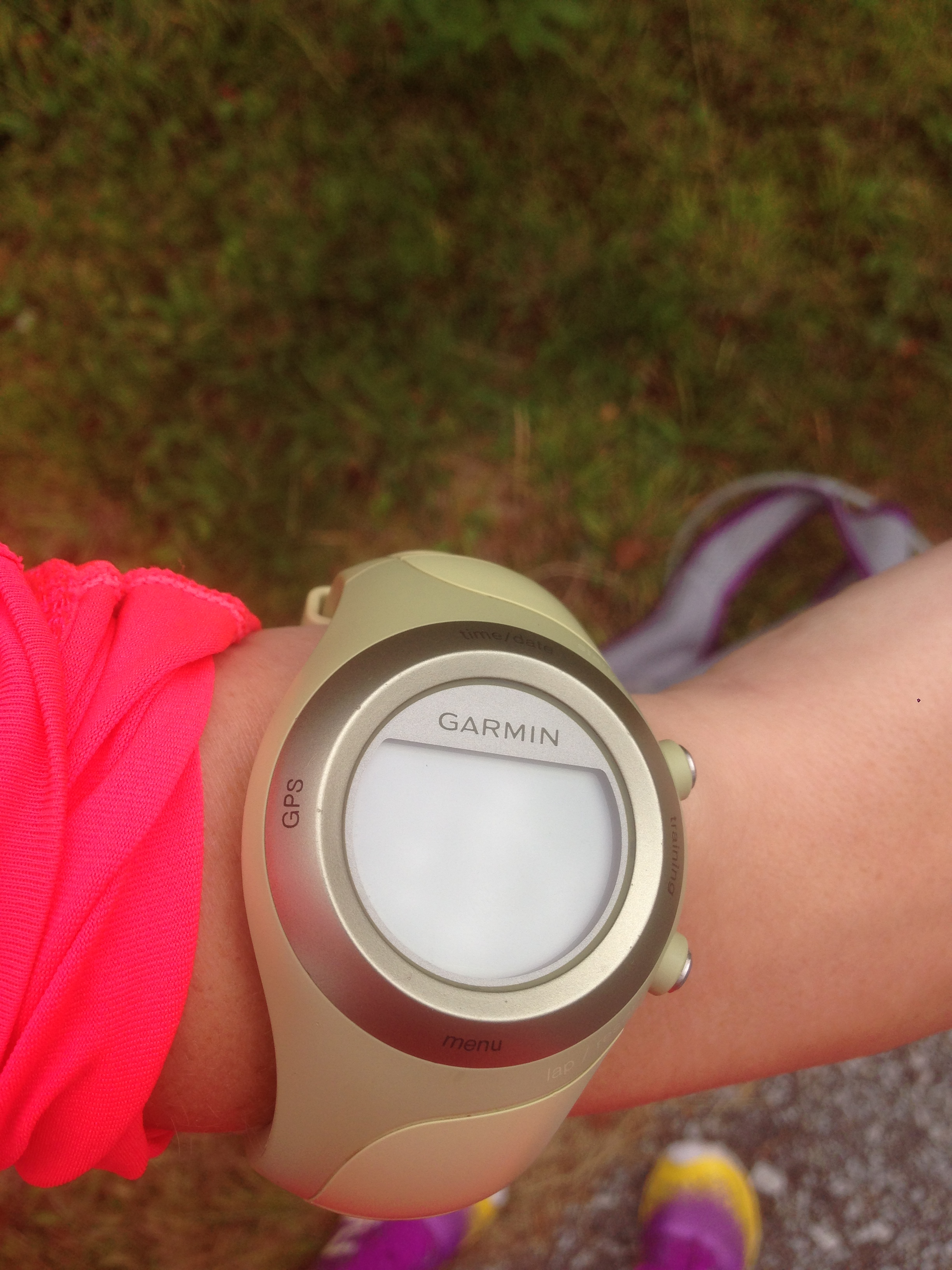
Overall, my weekend was fun. I did have my garmin GPS watch for this run, but since I’m a space cadet sometimes, I didn’t have it running the whole time and thus have poor data of my run. I know I did more than 4,000ft elevation gain that day and probably closer to 7,000 or 8,000 ft the day before. I would guess I did about 11 miles on Day 2, plus the 14.5 from Day 1 = 25.5 miles on the weekend. This is a heavy weekend for my legs and me and here I sit, 2 days later still sore. I’ve been foam rolling morning and before bed.
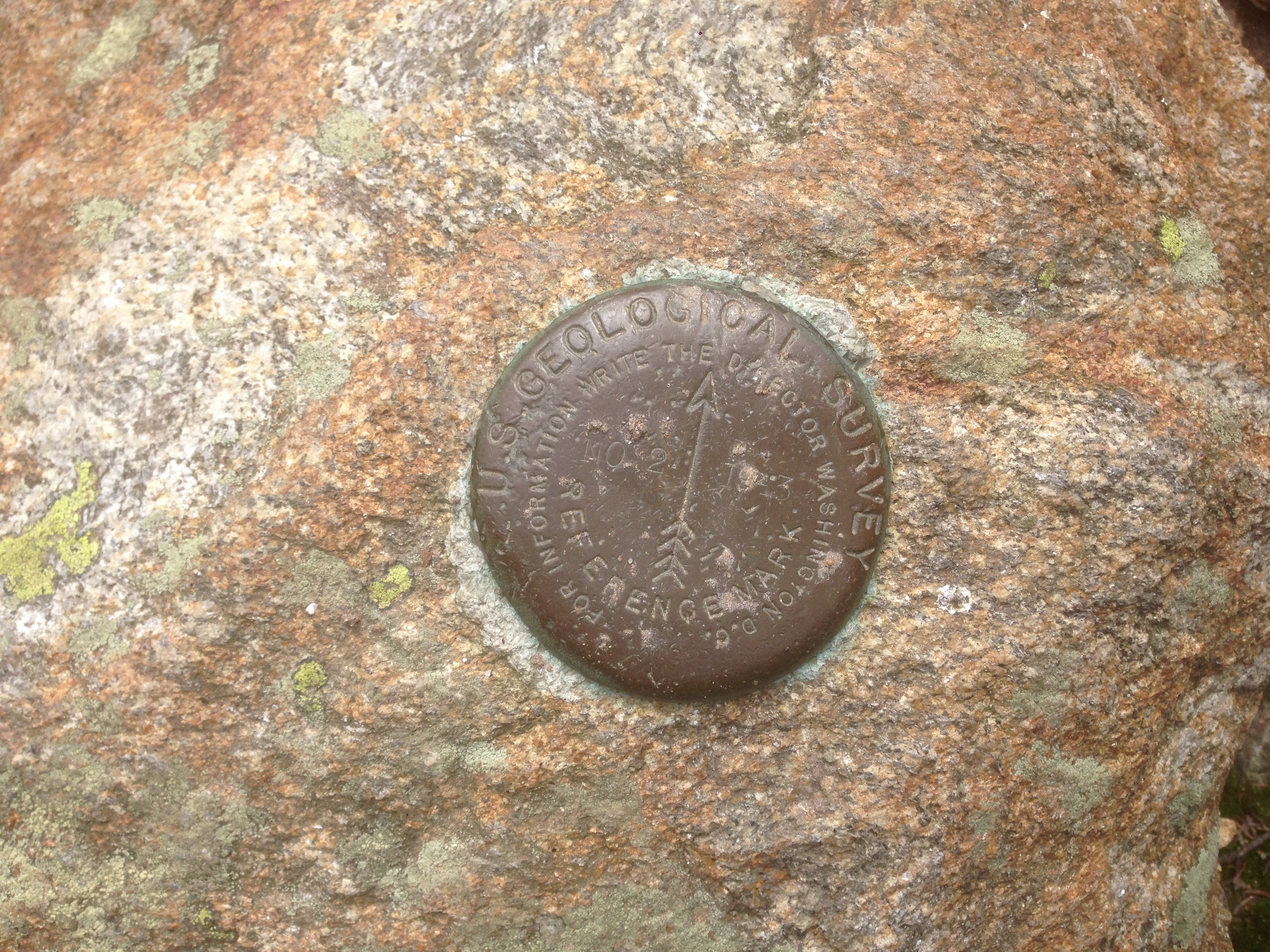
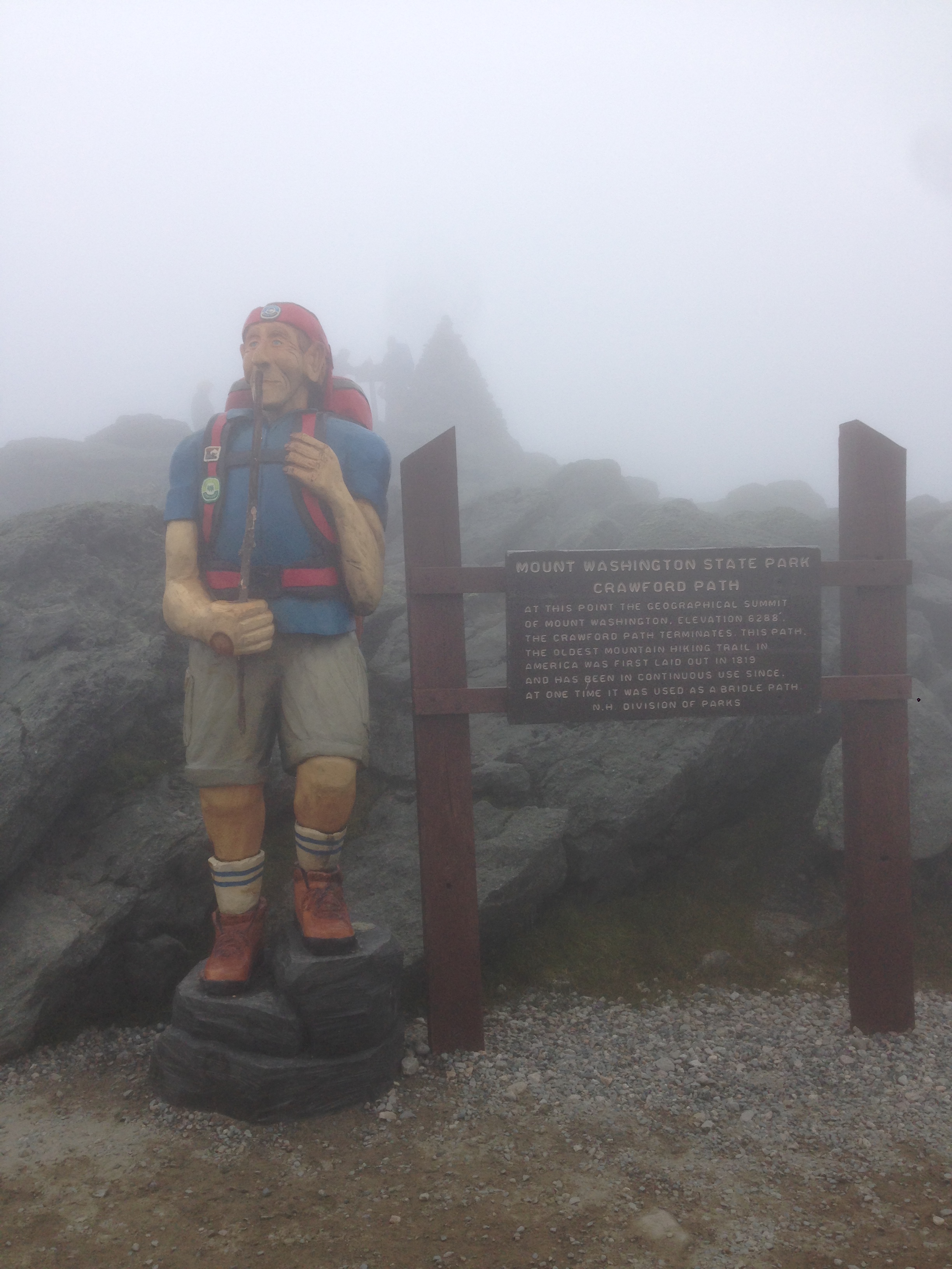
Summit marker


Waterfalls going down off Webster
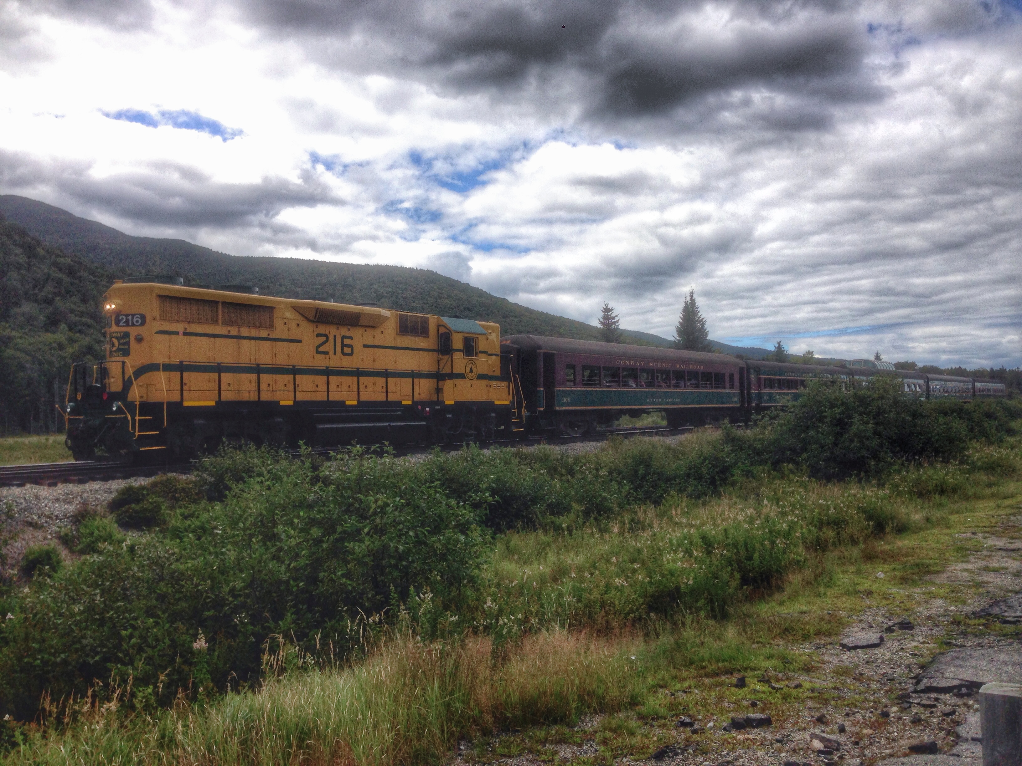
the Cog train passing by me trying to nap in the car #rude
Overall things I learned from Day 2:
- Your legs don’t want to start but once they start they loosen up
- Talk to as many people as you want, they are interesting
- If you have the energy, go for the extra cliff—webster was beautiful!
- Having the garmin is nice, but only for the end data- don’t look at it!
- Don’t feed the gray jays