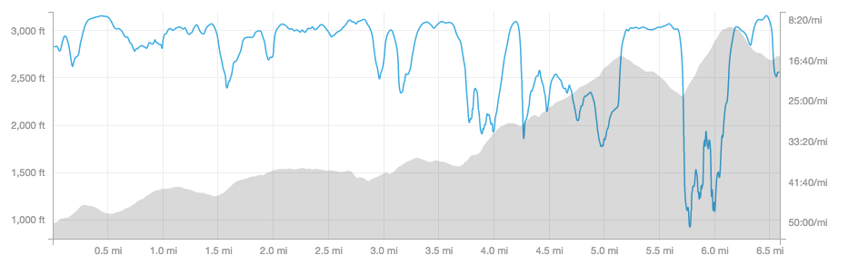
If you recall, I had a fun race report from the Mt. Ascutney race, in which we charged up the auto road to the top of Mt. Ascutney in Vermont. It was 3.7 miles and 2300 ft of gain.
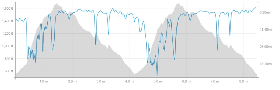
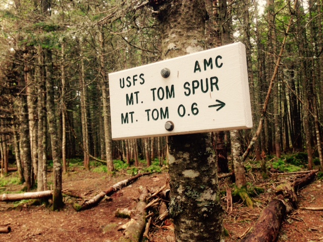
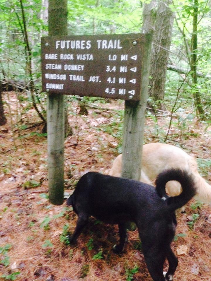
Well, this weekend I went camping there again. This was the weekend of the Vermont 100 mile race and Ryan and I were headed to AS 92 on Hunt Rd to set up and help runners. We decided to camp the night before at Mt. Ascutney State park with the dogs, and take a quick run up the trails to the real summit of Ascutney. Ascutney is ~ 3100ft tall and is very close to the NH border. From the camp, we picked the Futures Trail to the summit, 4.5 miles to the top and then another 4.5 back down.
We got some really interesting weather. It was beautiful in the night, but in early morning, the rain started and we could hear it from the safety of inside my tent. In the morning, we went into town to get some diner breakfast food, then we got back and it started raining again. Oh well! You can’t fear the rain once you’re already wet, right? So we suited up, grabbed some beers for the pack, and then took the dogs are headed up.
The trail up winds with climbs and descents that the auto road missed. We climbed up one side of the mountain, went across the ridge to the other and down. We then came across a trail sign for something called a Steam Donkey:
We obviously had to go see what that was all about and it wasn’t very far out of our way.

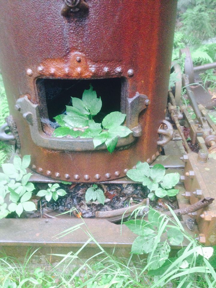
It was this rather large device that clearly had broken down on the mountain and was left for dead. Apparently it was used in logging endeavors, to carry things up and down the mountain. I’m not positive how it works but I’m glad we went to check it out and satisfy my curiosity! Anyway, after a brief Steam Donkey intermission, we continued up to the summit.

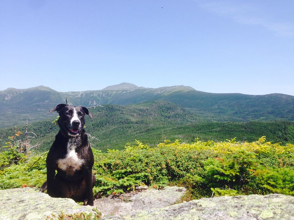
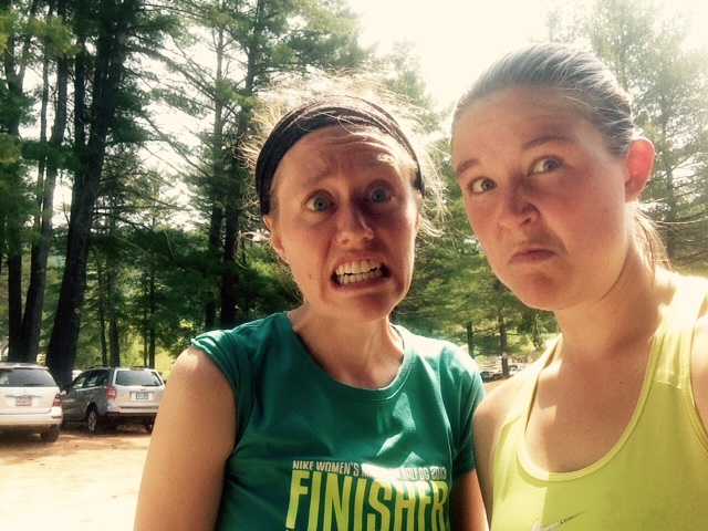
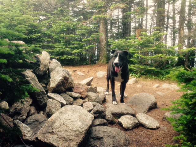
Ryan and Sky girl
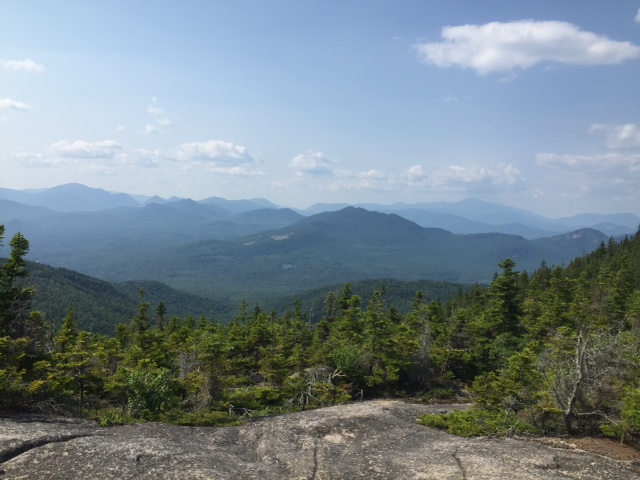
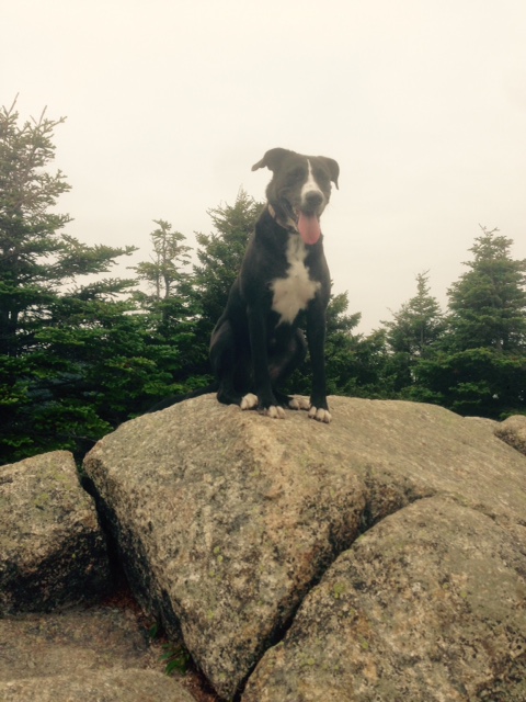
The trails were really foggy, like that kind of vision where when you wake up and you’re still tired so you can’t really see. It was like that for the majority of the hike up. And the summit was of course no different…

really incredible views today
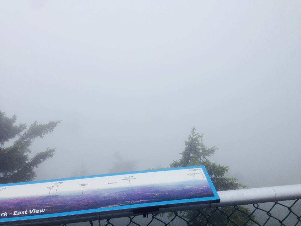
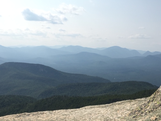
You can see on the poster the views we were supposed to get
Those photos are taken from on top of the observation tower at the top. You couldn’t see really more than 10 yards in front of you in any direction. Oh well! It took us ~ 2 hours to summit. From there, it was a fun run down.. taking about 45 minutes!

It was a good adventure and an easy way to get a lot of elevation in (~3500ft climbing). This month I’ve really surprised myself with the amount of climbing I have been able to get in. I’m not the fastest person on elevation gains but I can keep going without stopping. I think I should just keep going for both distance and elevation. I don’t know, I am just trying to have some fun in the mountains. It’s been a long time since I have had this much fun for a prolonged period of time.I just don’t want to have to worry about anything and when I’m on the trails, I don’t worry. Maybe I should worry about some things but.. I don’t. Nothing bothers me. I just exist.